
Jennifer Marohasy,6.3.2025
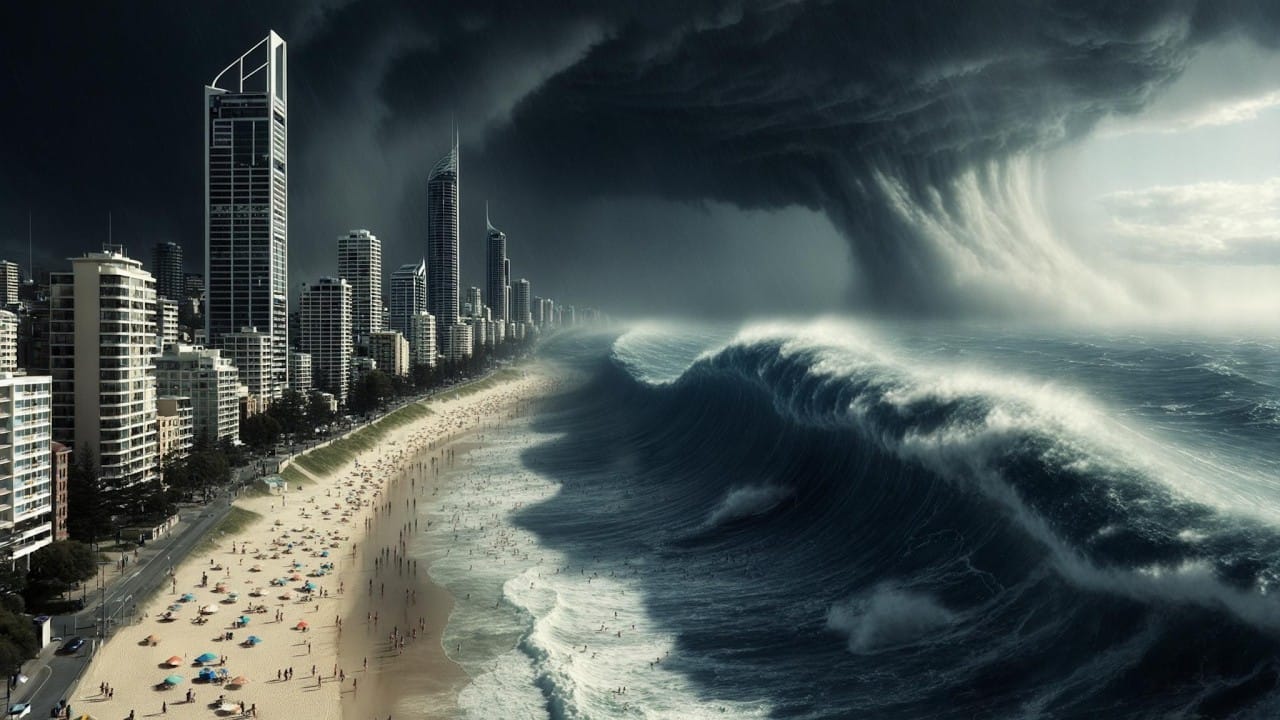
There is a large cyclone swirling viciously just to the east of my home town of Brisbane. It is edging westward, on course to collide with so much that I love.
When it comes to extreme weather, cyclones are top of my list. The most extreme cyclone to hit Queensland, Tropical Cyclone Mahina, was arguably the world’s most intense with a central pressure recorded at 880 hectopascals, a 12-metre storm surge, and 300 kilometre per hour winds. It was named, by Queensland government meteorologist, Clement Wragge. That was in 1899 – 126 years ago.
Contrary to popular narratives cyclones are not becoming more intense, and their frequency is waning. CSIRO research has confirmed a statistically significant downward trend in the annual number of tropical cyclones in the Australian region over the period extending from 1981/82 to 2017/18 that is during the satellite period. The intensity of these cyclones is also in decline.
This is perhaps some comfort to those feeling the approach of Tropical Cyclone Alfred in southeast Queensland and northeast New South Wales. TC Alfred has a central pressure of 978 hectopascals (1316 UTC 6th March 2025) and is sustaining winds near its centre of 95 kilometres per hour with wind gusts to 130 kilometres per hour already being experienced along the coast south to Lennox Heads.
TC Alfred will pack a punch. But southeast Queensland and northern New South Wales have sustained such low pressure and strong winds before. I just suggest everyone put their surf boards away for a few days, and find their camping stove and make sure there is gas in the cylinder.
During the period 1935 to 1974 every other year there was a cyclone making landfall as far south as Brisbane and into New South Wales. This was a period of much more cyclone activity. There were two cyclones that made landfall as far south as New South Wales in 1934: on January 30th and then again on February 19th. Two cyclones also made landfall in New South Wales in 1959: TC Beatrice and TC Connie. These four cyclones are listed in a journal article by J.L. Gray et al. entitled ‘On the Recent Hiatus of Tropical Cyclones Landfalling in NSW, Australia’ published in the Journal of Southern Hemisphere Earth Systems Science in 2020.
There was a period of some decades during the first half of the twentieth century when cyclones were given numbers rather than names. That was immediately following the formation of the Australian Bureau of Meteorology and the appointment of Henry A. Hunt as its founding director on 1 January 1907.
Headquartered in Melbourne, the first thing Hunt did was focus on consolidating ‘the disparate’ state services. In fact, he immediately sacked Clement Wragge and some other first-class meteorologists who could be disagreeable, and discontinued Wragge’s naming of cyclones.
Wragge was ahead of his time. The new head of the new Bureau did recognise the value of the white louvred boxes, now known as Stevenson screens, that Wragge began using in some parts of Queensland a good two decades before they were later installed, under Hunt’s directives in New South Wales and Victoria beginning only in 1908. So, a reliable temperature record exists back to the late 1880s for parts of Queensland, a good twenty years before the southern Australian states.
We know from the work of Clement Wragge, still denied by many particularly in Melbourne, that not only were the cyclones severe back in the 1890s it was also much hotter, sometimes. There is nothing new under the Sun.